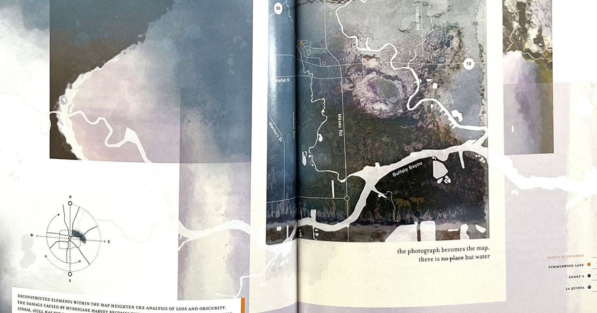
Designing an Atlas of Houston Flooding
Manual Vazquez’s waterlogged polaroid design in “More City Than Water.”

Digitizing the UH Coastal Center Herbarium
There’s plenty of information around the country regarding herbaria, but it’s not that easily … Read more
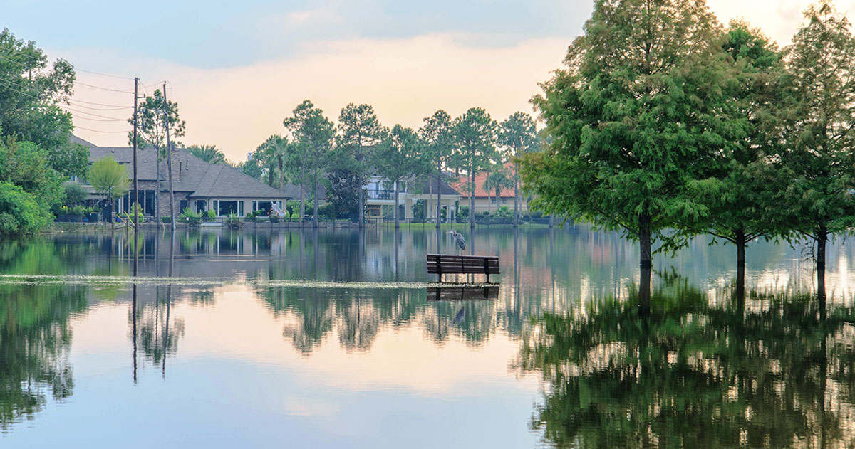
Surveying Residents in Perceived Versus Actual Flood Risk Areas
Flood mitigation and ongoing severe storm recovery in Houston takes its toll on communities … Read more
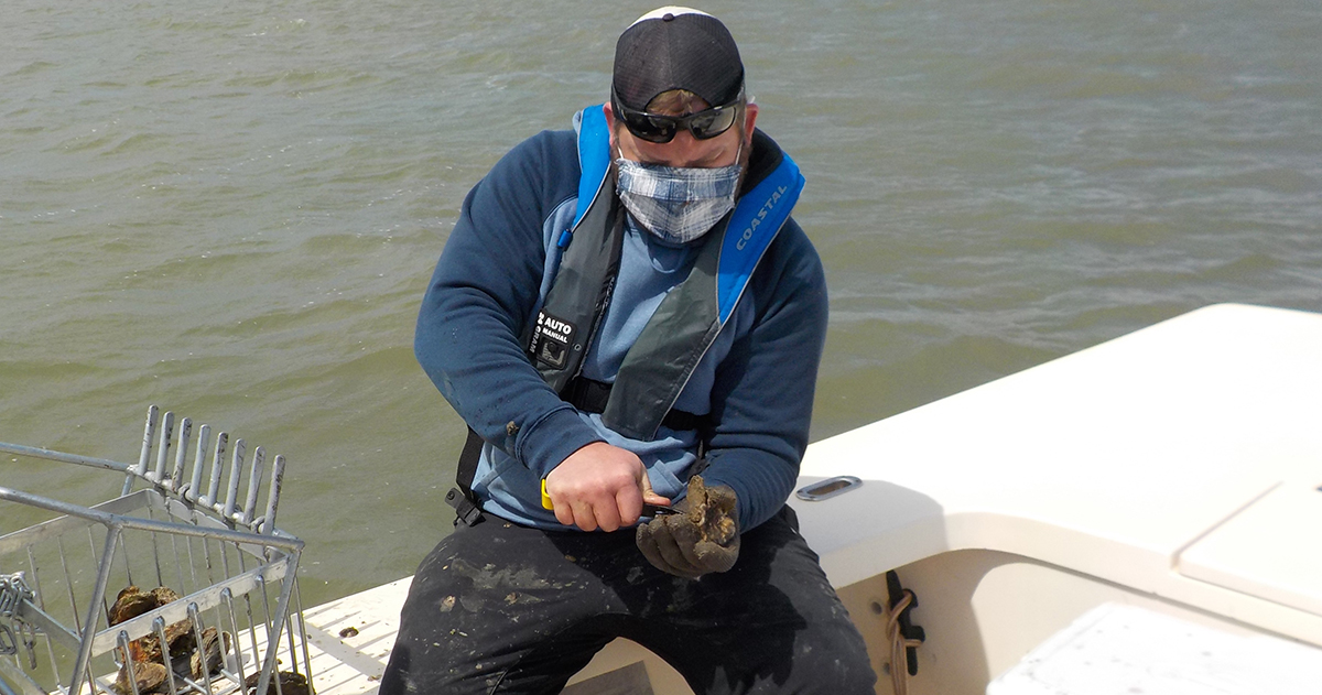
Determining the Microplastics Ingested by Oysters in Galveston
Do you want plastic with your oysters? Oysters are a filter organism – that … Read more
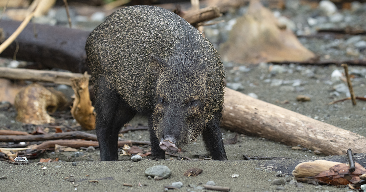
Determining the Effect of Wild Hogs on the Oyster Population
Wild hogs are an invasive species in Galveston Bay and they do over a … Read more
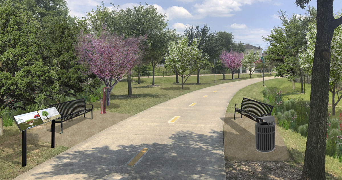
Engaging with the Columbia Tap Trail in Houston’s Third Ward
The Columbia Tap Hike and Bike Trail is four-mile path through the middle of … Read more
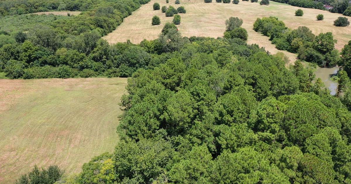
Turning a Landfill Into a Town Center
What does Houston do with a defunct landfill that is a flood risk for … Read more

Conserving Water to Combat Subsidence
Houston Public Works, the Harris-Galveston Subsidence District, and civil engineering researchers from the University … Read more
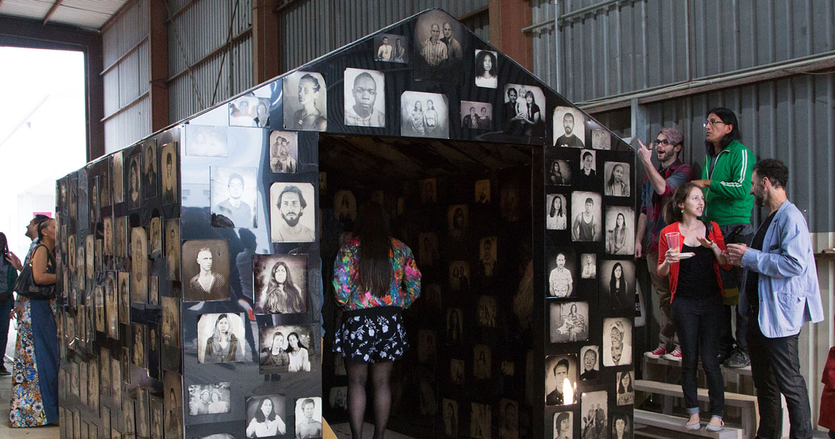
Photographing and Healing the Community
Shelter in Place is a series of portraits of Houstonians that culminated in a … Read more